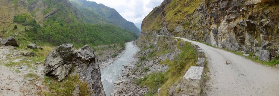
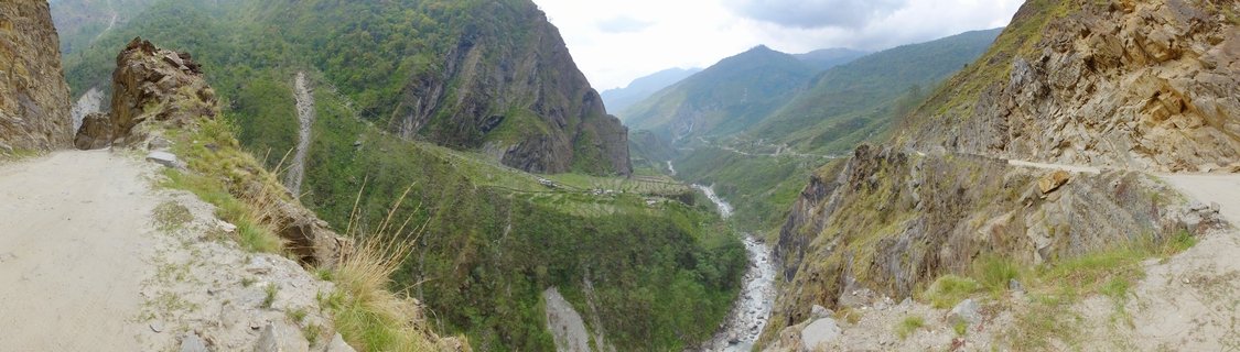
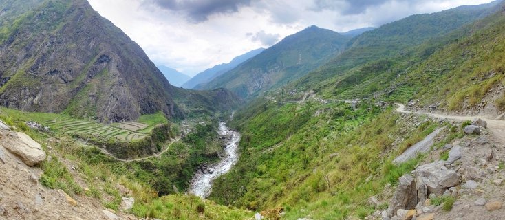
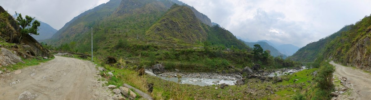
Mountain Valley Landscape with River and Roads in Kali Gandaki Region, Nepal
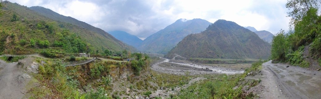
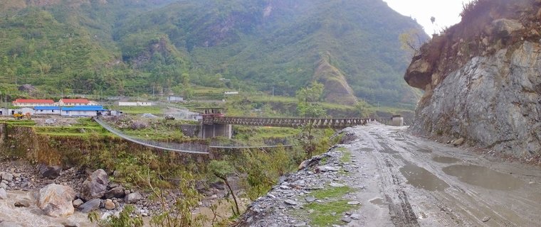
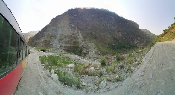
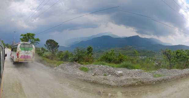
A panoramic view of the Kali Gandaki valley between Ghasa and Tatopani, Nepal, showing a rocky riverbed flanked by unpaved mountain roads. Steep forested slopes rise toward cloud-covered peaks with visible waterfalls.
Read more about this photo
The Kali Gandaki valley carves through the Himalayas, creating one of the world's deepest gorges. This stretch between Ghasa and Tatopani reveals the raw geological forces that shaped the region.
Twin dirt roads trace the valley walls, serving as vital transportation links for remote mountain communities. The rocky riverbed below carries glacial meltwater from peaks hidden in the clouds above.
Waterfalls cascade down distant slopes, evidence of the monsoon moisture that sustains the lush vegetation clinging to these steep hillsides. This landscape represents the rugged beauty of Nepal's mountain transportation corridors.
Spot a mistake or location error? Let us know!
Photos from the day