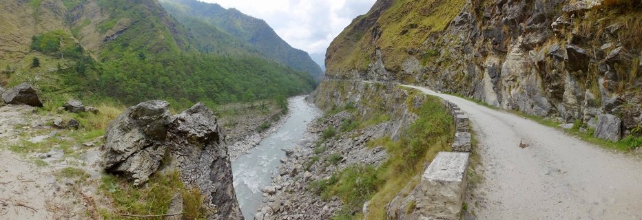
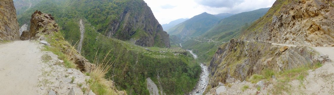
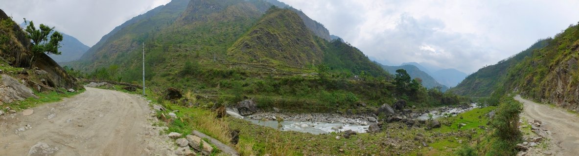
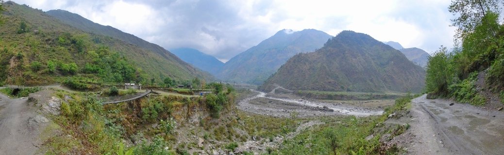
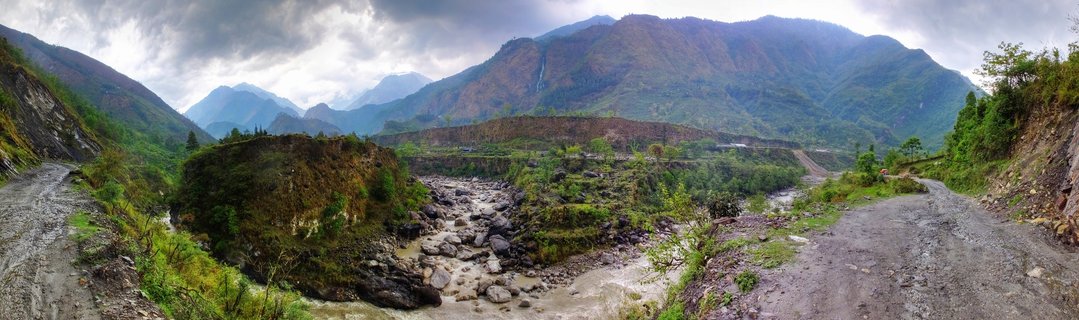
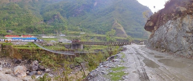
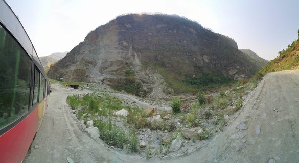
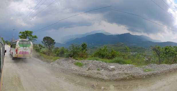
Kali Gandaki Valley with terraced fields and river gorge between Ghasa and Tatopani, Nepal
The Kali Gandaki Valley in Nepal displays dramatic mountain terrain with terraced agricultural fields carved into steep hillsides. A glacial river cuts through the gorge between Ghasa and Tatopani villages along the Annapurna Circuit trekking route.
Read more about this photo
The Kali Gandaki Valley represents one of Earth's deepest gorges, carved between the towering peaks of Dhaulagiri and Annapurna. This section between Ghasa and Tatopani showcases the remarkable adaptation of mountain communities to extreme terrain.
Terraced fields cling to the steep slopes, demonstrating centuries of agricultural ingenuity. The glacial river below provides essential water for crops and villages scattered along the mountainside.
A winding mountain road traces the valley wall, connecting remote settlements and enabling trekking tourism that sustains local economies along the famous Annapurna Circuit.
Spot a mistake or location error? Let us know!
Photos from the day