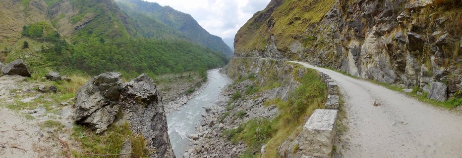
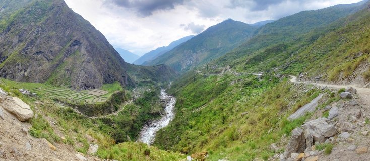
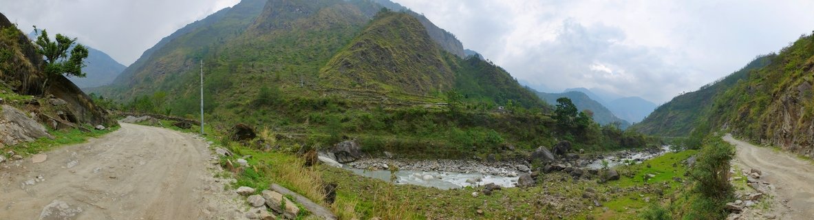
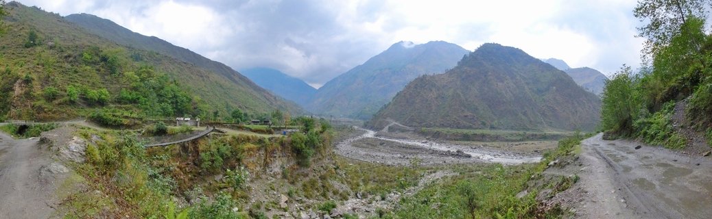
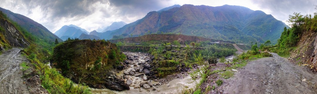
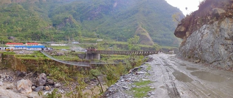
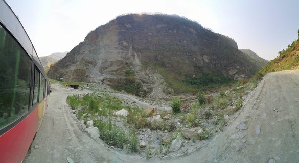
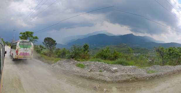
Mountain road carved into cliff face overlooking Kali Gandaki River valley, Ghasa-Tatopani region, Nepal
A rugged mountain road winds along steep cliff faces in the Kali Gandaki valley between Ghasa and Tatopani, Nepal, with the river visible below and lush green slopes rising on both sides.
Read more about this photo
The treacherous mountain road between Ghasa and Tatopani represents one of Nepal's most challenging passages through the Kali Gandaki gorge, the world's deepest valley. Carved directly into the rocky cliff face, this unpaved route demands careful navigation while offering dramatic views of the river far below.
During the spring season, the surrounding slopes burst with vibrant green vegetation, contrasting sharply with the exposed brown and gray rock faces. The overcast sky casts diffused light across the landscape, revealing the immense scale of the Himalayan terrain.
This remote corridor has served as a vital trade and trekking route for centuries, connecting remote mountain communities while showcasing the raw geological forces that shaped the Annapurna region.
Spot a mistake or location error? Let us know!
Photos from the day