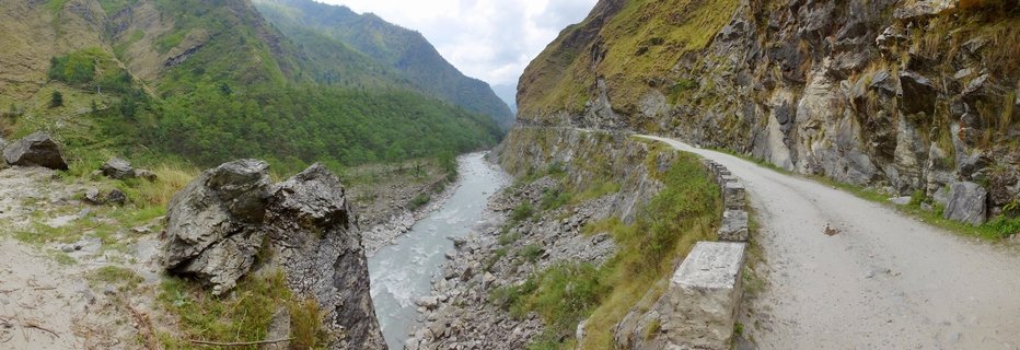
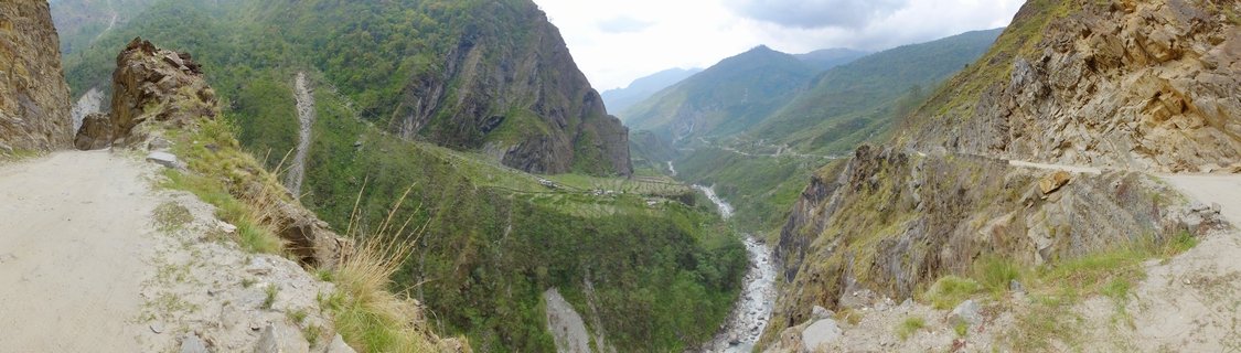
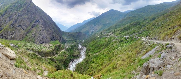
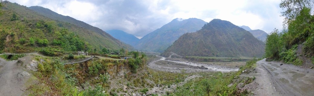
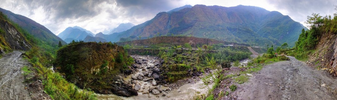
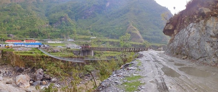
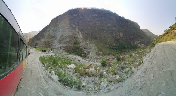
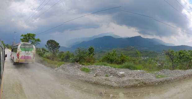
Mountain valley landscape with river and dirt roads in Ghasa-Tatopani region, Nepal
A mountain valley in the Ghasa-Tatopani region of Nepal features converging dirt roads, a rocky riverbed with flowing water, and steep green-covered slopes under an overcast sky, photographed May 2017.
Read more about this photo
The Kali Gandaki Corridor
This valley lies along the historic Kali Gandaki river gorge, one of the deepest in the world and a traditional trade route between Nepal and Tibet.
Monsoon Season Approach
Photographed in early May, the landscape shows lush green vegetation before the full monsoon arrives. The terraced hillsides demonstrate traditional Nepali agricultural practices adapted to steep mountain terrain.
Remote Mountain Infrastructure
The unpaved roads represent critical connectivity for remote Himalayan communities, linking villages like Ghasa and Tatopani along the Annapurna Circuit trekking region.
Spot a mistake or location error? Let us know!
Photos from the day