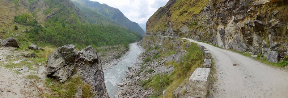
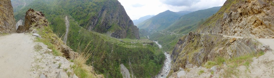
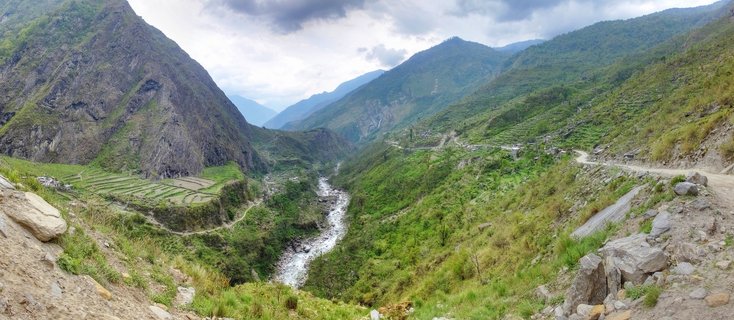
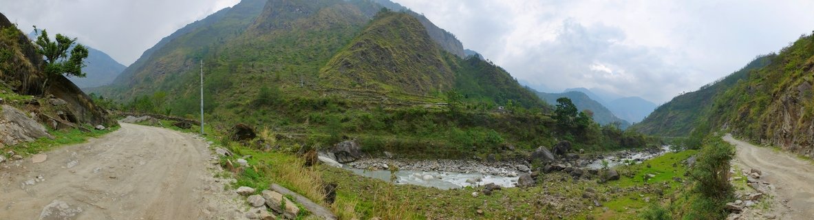
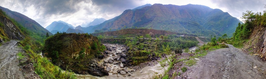
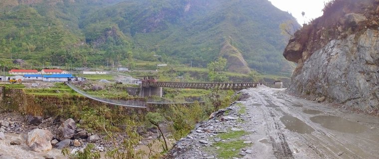
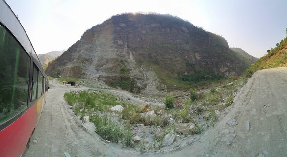
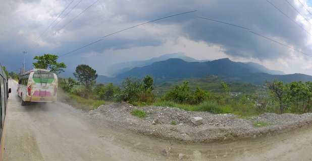
Mountain valley landscape with river and dirt roads in Ghasa-Tatopani region, Nepal
A wide mountain valley in Nepal's Annapurna region showing the Kali Gandaki riverbed flanked by steep green slopes and unpaved mountain roads converging near Ghasa-Tatopani, photographed May 2017.
Read more about this photo
The Gateway to Annapurna
The Kali Gandaki valley opens dramatically between towering Himalayan peaks, where two mountain roads converge along the ancient trade route between Ghasa and Tatopani. This corridor has served traders and trekkers for centuries.
Natural Crossroads
The braided riverbed cuts through the valley floor, fed by snowmelt from peaks rising above 7,000 meters. Lush vegetation clings to the steep mountainsides despite the rugged terrain.
Spot a mistake or location error? Let us know!
Photos from the day