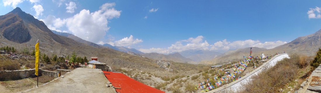
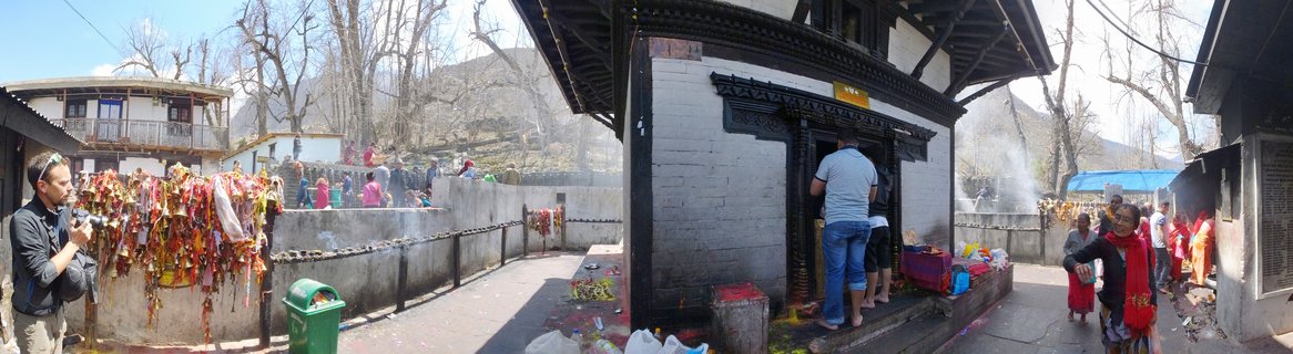
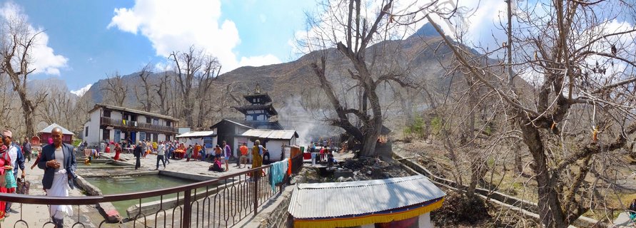
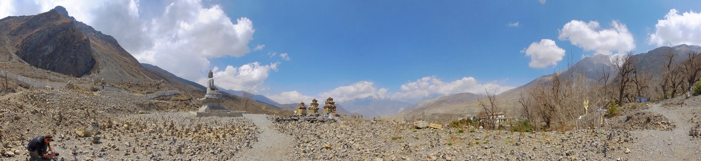
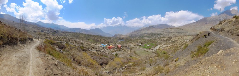
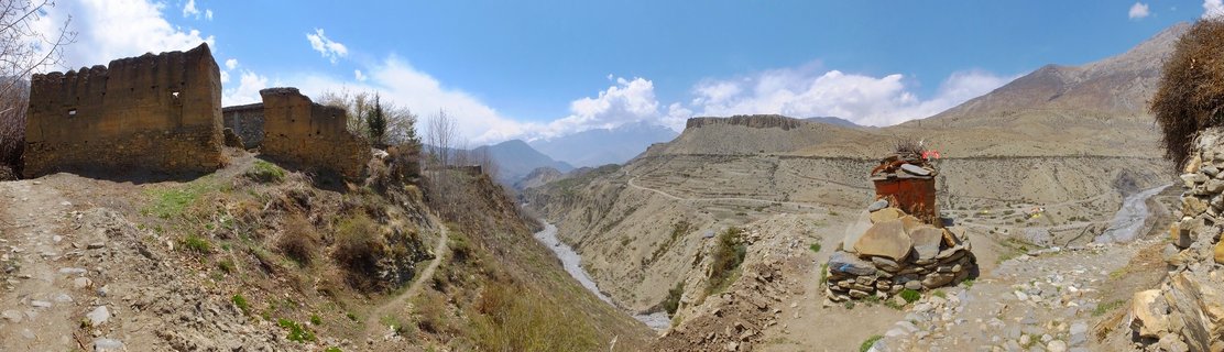
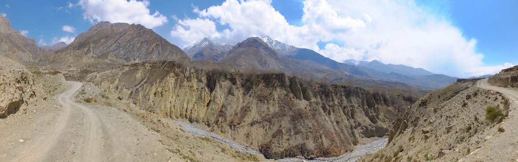
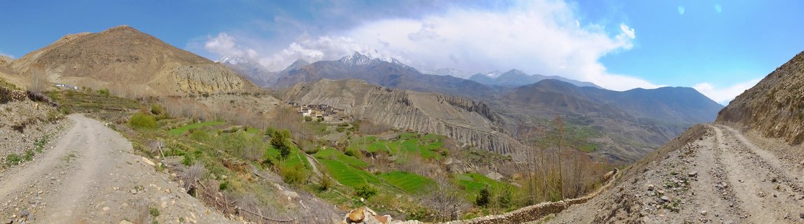
Kali Gandaki Valley with braided river system between Muktinath and Kagbeni, Mustang District, Nepal
AC10-Muktinath - Kagbeni , Nepal
A panoramic view of the Kali Gandaki Valley in Mustang District, Nepal, showing a braided glacial river flowing through an arid high-altitude desert landscape flanked by barren Himalayan mountains under a blue sky with scattered clouds.
Read more about this photo
The Ancient Kali Gandaki Valley
The Kali Gandaki River, one of the world's deepest gorges, carves through this stark high-altitude desert landscape in Nepal's Mustang District. This sacred valley has served as a crucial trade route between Tibet and India for centuries.
A Landscape of Contrasts Despite the arid surroundings, small patches of green cultivation cling to life along the riverbanks. The braided river channels create intricate patterns across the valley floor, fed by glacial meltwater from distant snow-capped peaks.
The Muktinath-Kagbeni Region This remote region sits in the rain shadow of the Annapurna and Dhaulagiri massifs, creating a unique desert ecosystem at over 3,000 meters elevation. The area holds profound spiritual significance for both Hindu and Buddhist pilgrims.
Spot a mistake or location error? Let us know!
Photos from the day