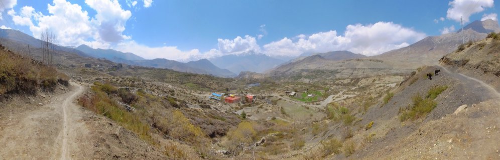
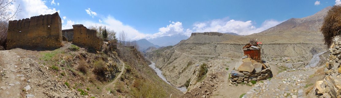
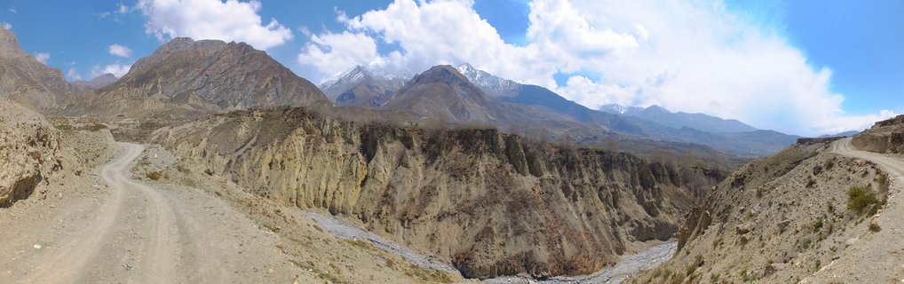
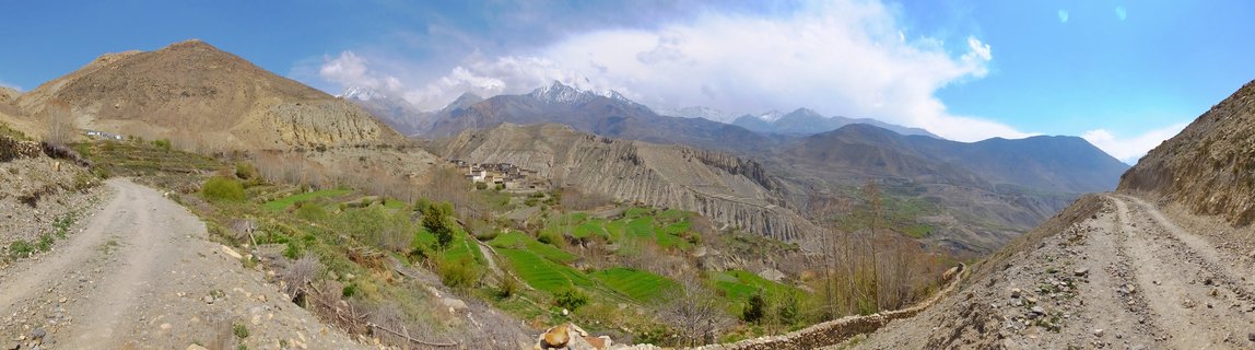
Kagbeni Valley and Kali Gandaki River with Dhaulagiri Range, Mustang, Nepal
AC10-Muktinath - Kagbeni , Nepal
Aerial view of the Kali Gandaki Valley near Kagbeni, showing terraced agricultural fields, the riverbed, and snow-capped peaks of the Dhaulagiri range in Mustang, Nepal.
Read more about this photo
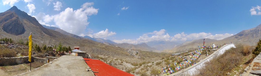
The ancient kingdom of Mustang reveals itself through this dramatic valley landscape, where the Kali Gandaki River has carved one of the world's deepest gorges. For centuries, this route served as a crucial trade corridor between Tibet and India, with Kagbeni standing as the traditional gateway to the forbidden kingdom.
The stark contrast between the arid, erosion-sculpted cliffs and the vibrant green agricultural terraces demonstrates the ingenuity of high-altitude farming in this rain-shadow region. Local farmers cultivate barley, buckwheat, and vegetables using irrigation channels fed by mountain streams.
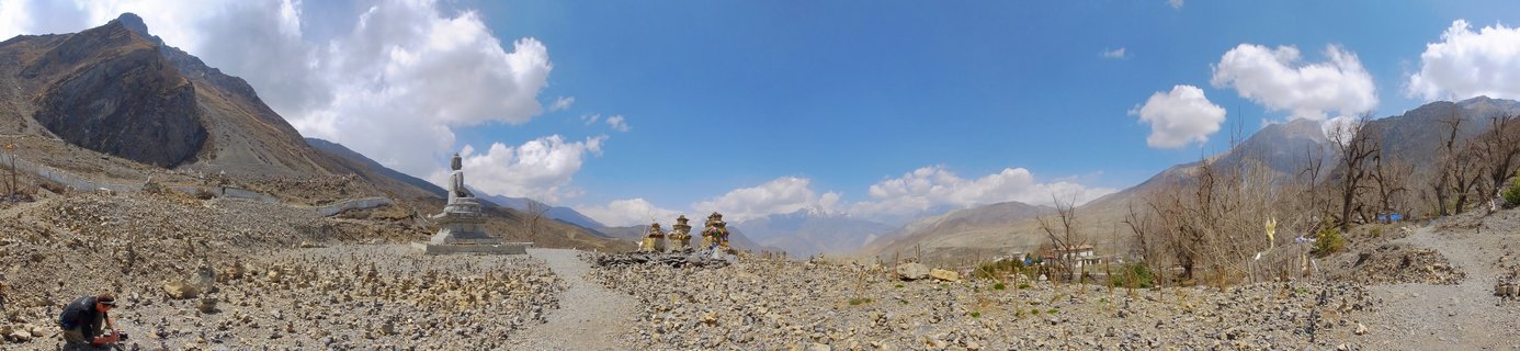
In the distance, the snow-capped peaks of the Dhaulagiri massif rise above the valley, reminding visitors that this landscape sits at the crossroads of the Indian subcontinent and the Tibetan plateau, at elevations exceeding 3,000 meters.
Spot a mistake or location error? Let us know!
Photos from the day