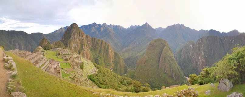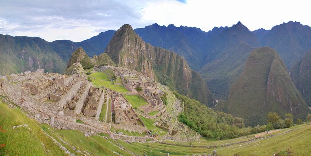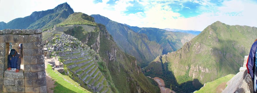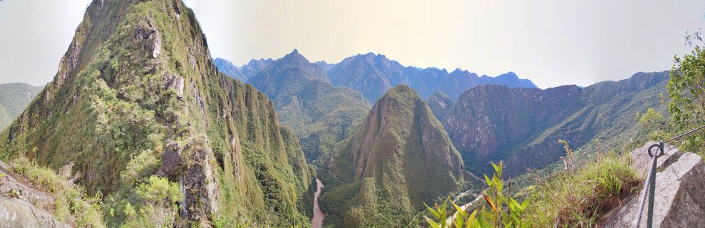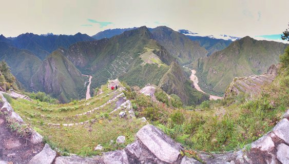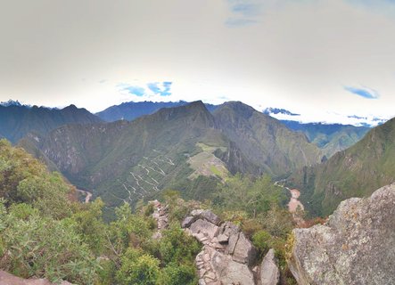
Machu Picchu archaeological site with Huayna Picchu peak and Urubamba River valley, Peru
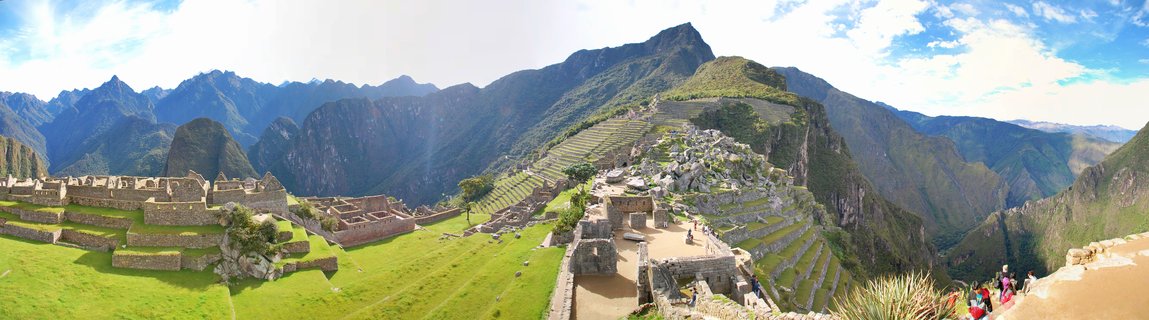
Tourists walk along stone pathways at Machu Picchu, the 15th-century Incan citadel, with Huayna Picchu mountain and the winding Urubamba River visible in the valley below.
Read more about this photo
The Lost City Revealed
Perched 2,430 meters above sea level in the Andes Mountains, Machu Picchu stands as the most iconic symbol of the Incan Empire. Built around 1450 and abandoned a century later, this UNESCO World Heritage Site remained unknown to the outside world until Hiram Bingham's 1911 expedition.
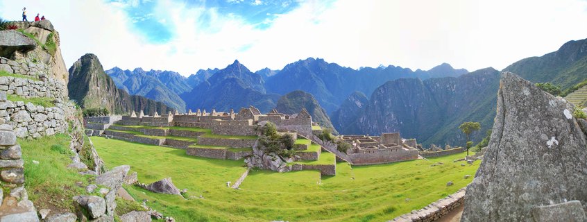
Engineering Marvel The Incas constructed over 700 agricultural terraces carved into the steep mountainside, creating a self-sustaining fortress city. The precision stonework, assembled without mortar, has withstood centuries of earthquakes and erosion.
Journey to the Clouds Today, visitors traverse the same stone pathways once walked by Incan royalty, witnessing one of archaeology's greatest treasures against a backdrop of lush cloud forest and towering granite peaks.
Spot a mistake or location error? Let us know!
Photos from the day