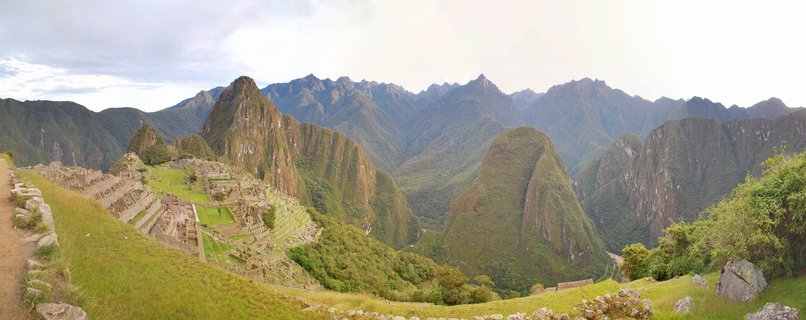
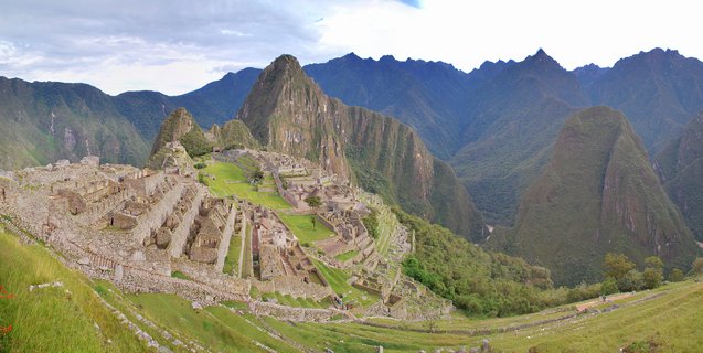
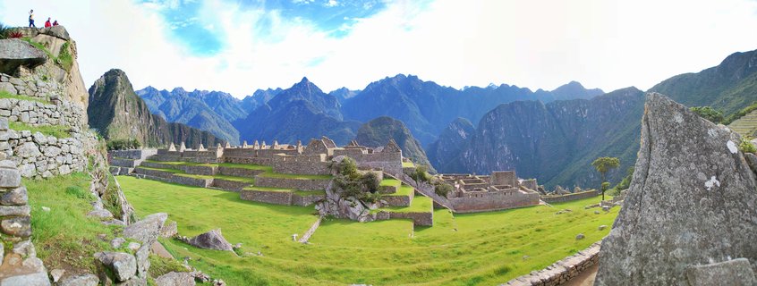
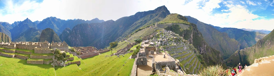
Machu Picchu Incan citadel and Huayna Picchu mountain viewed from elevated vantage point in Peru
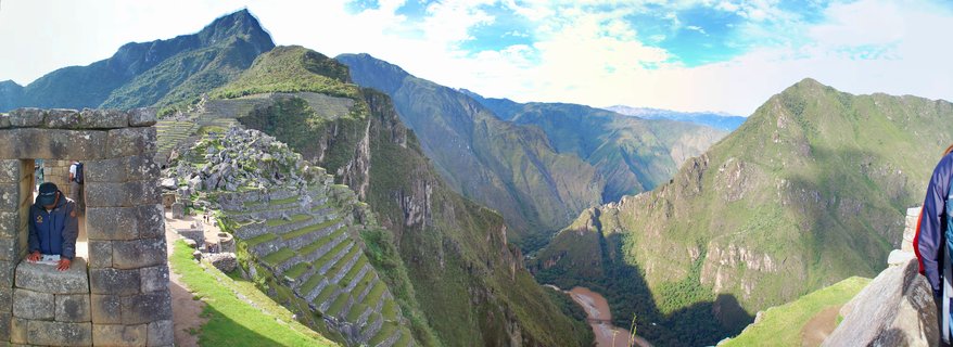
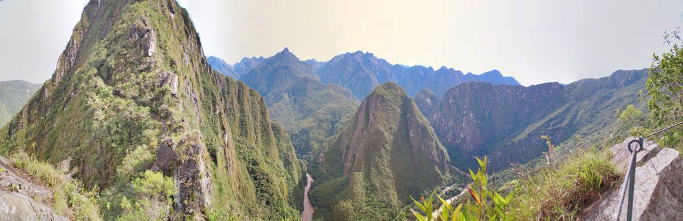
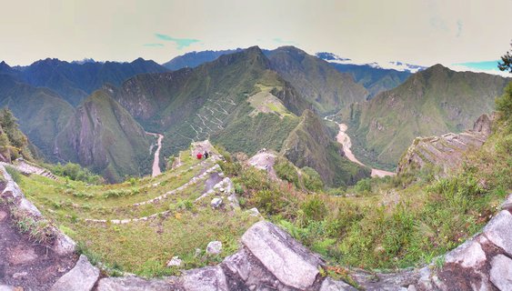
The 15th-century Incan citadel of Machu Picchu sits nestled between Huayna Picchu and Machu Picchu mountains in Peru's Andes, with the Urubamba River winding through the valley below and switchback trails visible on the mountainside.
Read more about this photo
The Lost City of the Incas
Perched 2,430 meters above sea level, Machu Picchu represents the pinnacle of Incan engineering and architectural achievement. Built around 1450 during the reign of Pachacuti, this sacred site was abandoned during the Spanish conquest and remained hidden from the outside world until Hiram Bingham's 1911 expedition.
A Landscape Steeped in History
The panoramic vista reveals the site's strategic placement within the Andean cloud forest. Terraced agricultural zones cascade down the mountainside, while the iconic Huayna Picchu peak towers over the central plaza. The Urubamba River, visible in the valley below, was sacred to the Incas and provided natural defense on three sides.
Spot a mistake or location error? Let us know!
Photos from the day