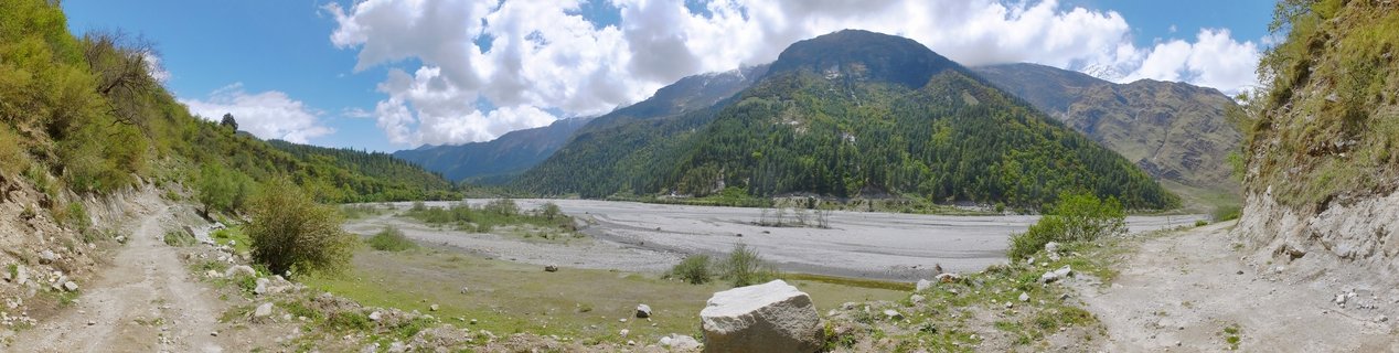
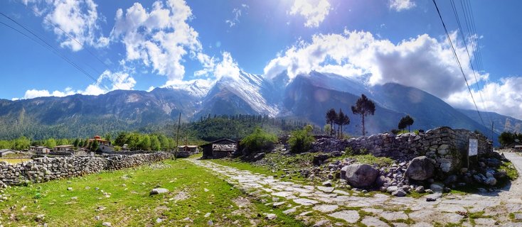
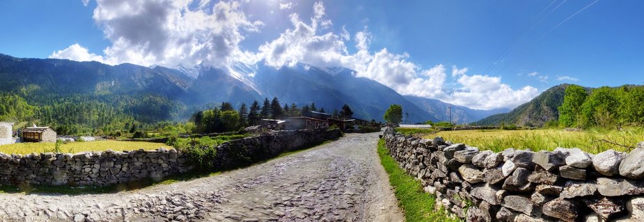
Mountain valley landscape with unpaved road in Larjung-Ghasa region, Myagdi District, Nepal
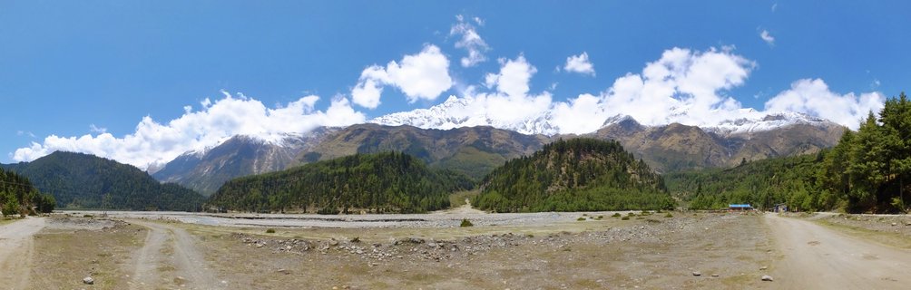
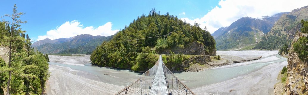
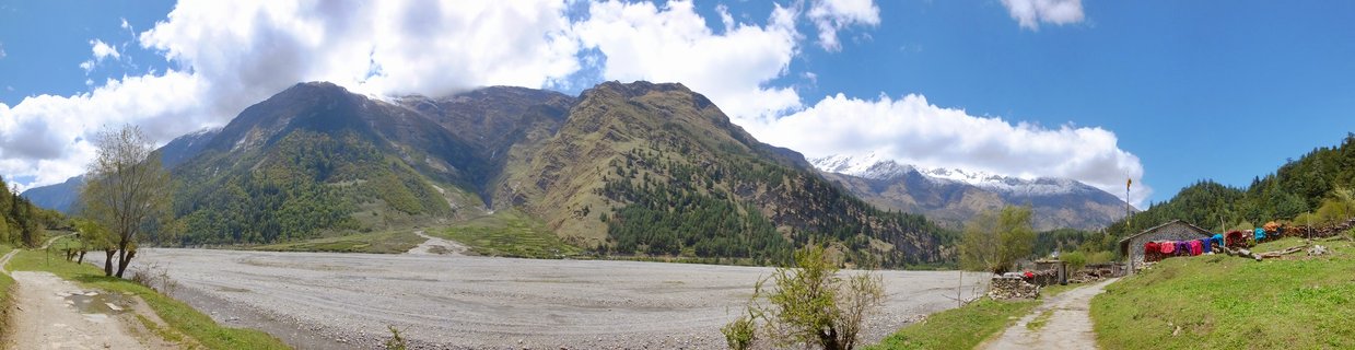
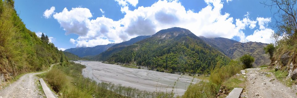
An unpaved mountain road winds through a lush green valley in the Larjung-Ghasa region of Myagdi District, Nepal, with forested slopes and rugged Himalayan peaks rising under a partly cloudy sky.
Read more about this photo
The Kali Gandaki Corridor
This remote mountain pass connects the villages of Larjung and Ghasa along one of Nepal's most rugged transportation routes in the Myagdi District.
Biodiversity Hotspot The dense temperate forests showcase the rich ecological diversity of the Annapurna region, with pine and rhododendron covering the steep valley slopes.
Adventure Gateway This unpaved road serves as a vital link for trekkers and locals navigating the dramatic terrain of the Himalayan foothills.
Spot a mistake or location error? Let us know!
Photos from the day