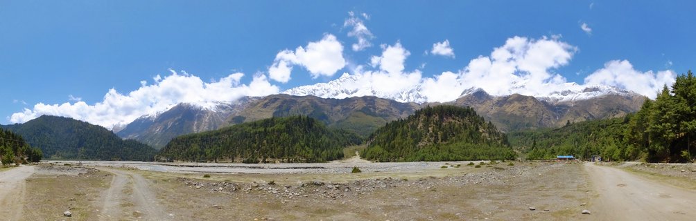
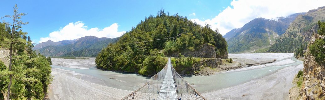
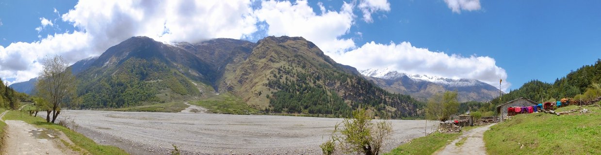
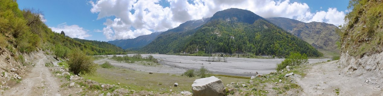
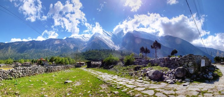
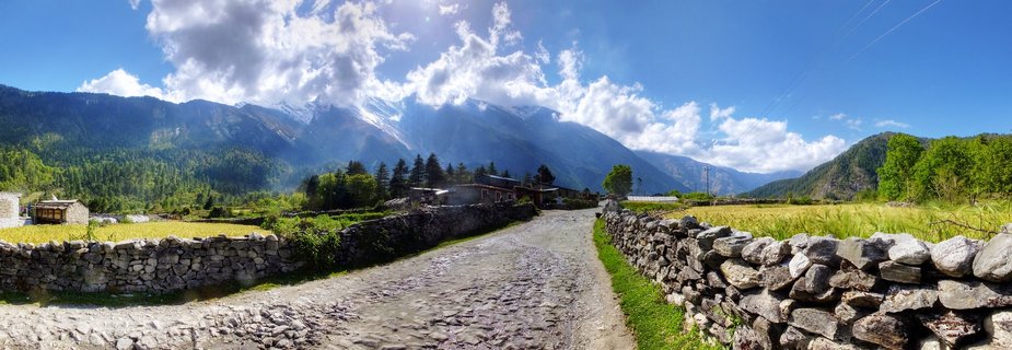
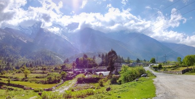
Mountain valley with riverbed and forested slopes in Larjung-Ghasa region, Nepal
A wide valley landscape in the Larjung-Ghasa area of Nepal featuring a braided riverbed flanked by forested mountain slopes under a partly cloudy sky, captured May 2017.
Read more about this photo
The Kali Gandaki valley unfolds beneath towering Himalayan peaks, where a wide braided riverbed carves through ancient terrain. Lush green forests cling to the mountain slopes, evidence of the monsoon-fed ecosystem that thrives at this altitude.
This remote corridor between Larjung and Ghasa represents one of Nepal's most dramatic geographical transitions, where the river has sculpted the landscape over millennia. The gravel paths winding along the valley edges serve as vital connections for local communities and trekkers alike.
The scene captures the raw beauty of Nepal's mountain regions, where human presence remains minimal and nature's grandeur dominates every vista. Such landscapes define the Annapurna Conservation Area's diverse ecological zones.
Spot a mistake or location error? Let us know!
Photos from the day