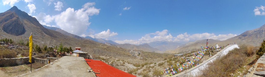
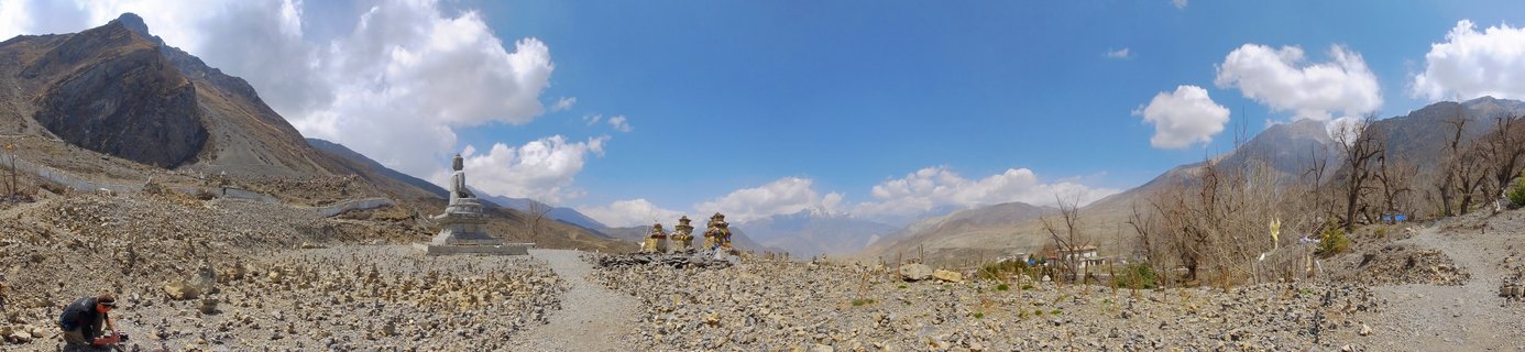
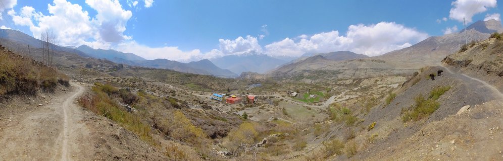
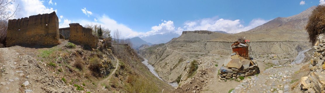
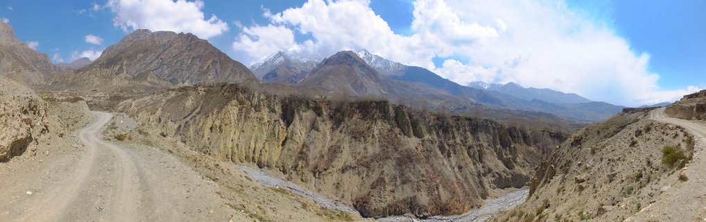
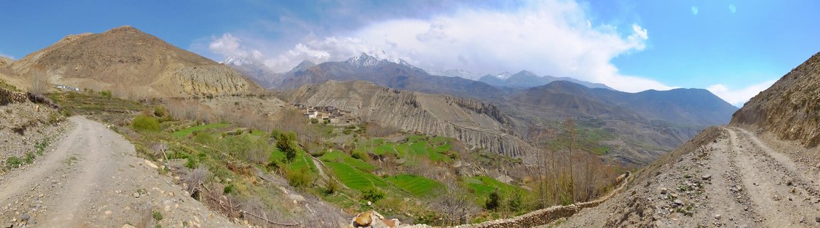
Arid mountain landscape in Kali Gandaki Valley between Muktinath and Kagbeni, Nepal
AC10-Muktinath - Kagbeni , Nepal
Panoramic view of the arid Kali Gandaki Valley featuring eroded hillsides, sparse vegetation, and snow-capped Himalayan peaks in the background, captured between Muktinath and Kagbeni in the Mustang region of Nepal.
Read more about this photo
The Trans-Himalayan Desert
The Kali Gandaki Valley represents one of the world's most dramatic high-altitude desert landscapes, where the rain shadow of the Annapurna and Dhaulagiri massifs creates an otherworldly terrain of eroded cliffs and ancient riverbeds.
A Sacred Corridor
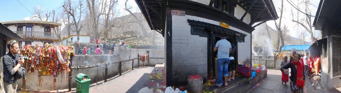
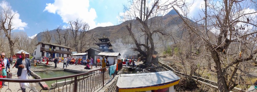
This valley has served as a crucial pilgrimage route for centuries, connecting Hindu and Buddhist sacred sites including Muktinath Temple, while traditional villages cling to the sparse green patches where irrigation makes agriculture possible.
Geological Time Capsule
The exposed sedimentary layers reveal millions of years of geological history, when this region was part of the ancient Tethys Sea before the Indian subcontinent collided with Asia to form the Himalayas.
Spot a mistake or location error? Let us know!
Photos from the day