Kagbeni Valley landscape in Upper Mustang, Nepal with terraced fields and Himalayan mountains
AC10-Muktinath - Kagbeni , Nepal
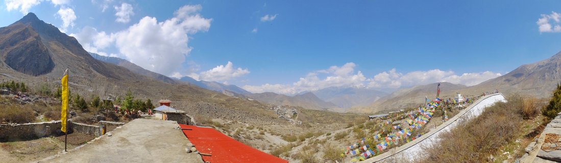
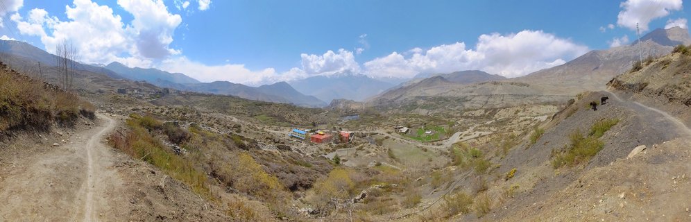
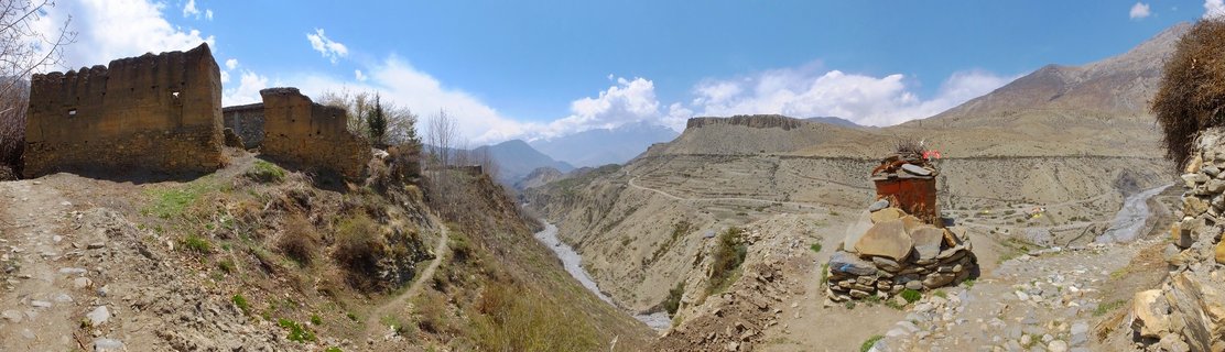
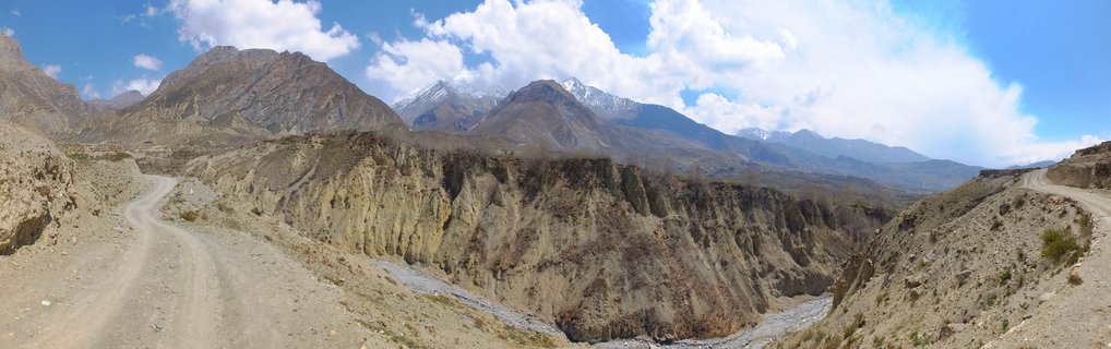
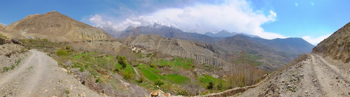
The arid valley near Kagbeni village in Upper Mustang, Nepal, photographed April 29, 2017. The landscape shows traditional stone-walled terraced fields contrasting with the surrounding high-altitude desert terrain, with snow-capped Himalayan peaks visible in the distance.
Read more about this photo
Upper Mustang's Kagbeni valley represents one of the last remote frontiers of the Nepalese Himalayas. This high-altitude desert landscape, lying in the rain shadow of the Annapurna and Dhaulagiri ranges, has served as a crucial trade route between Nepal and Tibet for centuries.
The green terraced fields visible in the valley floor are sustained by irrigation from the Kali Gandaki River, creating pockets of agriculture in an otherwise barren landscape. Local farmers grow barley, buckwheat, and vegetables during the short growing season.
The winding dirt track climbing the hillside is part of the traditional pilgrimage route to Muktinath Temple, sacred to both Hindus and Buddhists. This ancient path has been traversed by traders, pilgrims, and trekkers for generations.
Spot a mistake or location error? Let us know!
Photos from the day