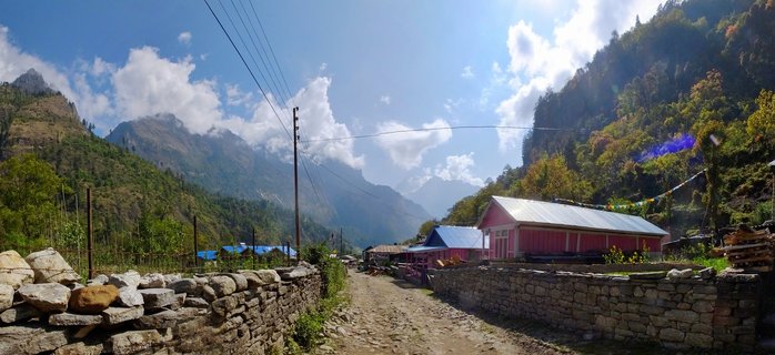
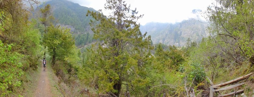
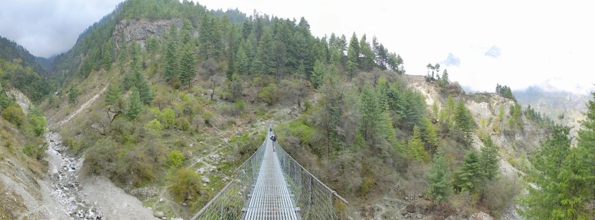
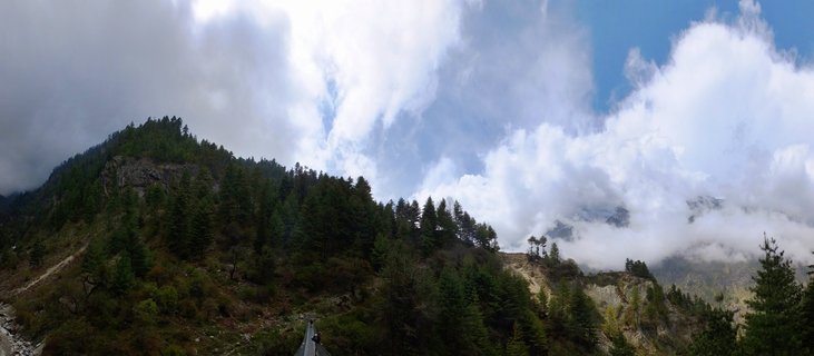
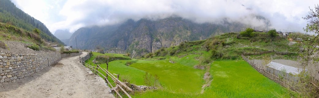
Hikers on mountain trail through agricultural valley between Bagarchhap and Chame, Annapurna Conservation Area, Nepal
AC03-Bagarchhap - Chame , Nepal
Trekkers walk along a narrow dirt path through cultivated fields in the Marsyangdi Valley, with forested mountain slopes and cloud-shrouded peaks rising in the background on the Annapurna Circuit trek in Nepal.
Read more about this photo
The Marsyangdi Valley Corridor
This panoramic view captures a quintessential moment on the Annapurna Circuit, one of the world's most celebrated trekking routes. The path winds through terraced agricultural fields where local farmers cultivate barley, wheat, and potatoes at this altitude of approximately 2,300 meters.
Between Bagarchhap and Chame
The section between these two villages marks the transition into the drier, Tibetan-influenced landscape of upper Manang. Wooden fences protect crops from livestock while dramatic cloud formations dance around the unnamed peaks that guard this remote Himalayan valley.
Spot a mistake or location error? Let us know!
Photos from the day