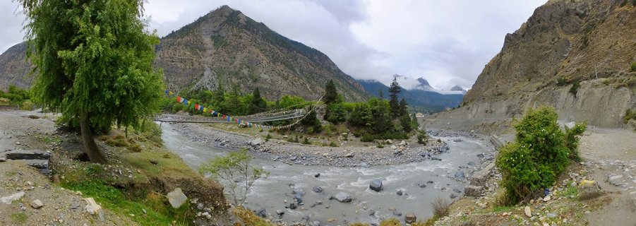
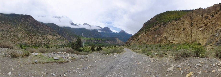
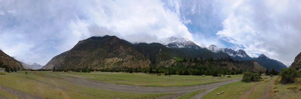
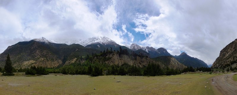
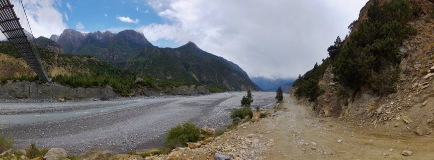
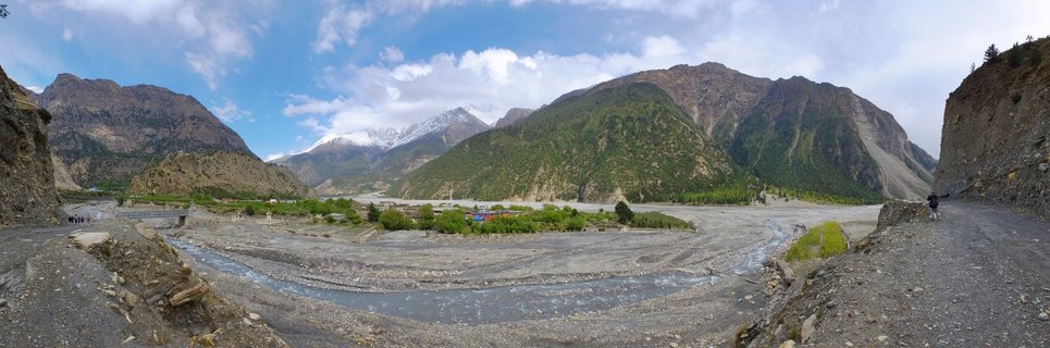
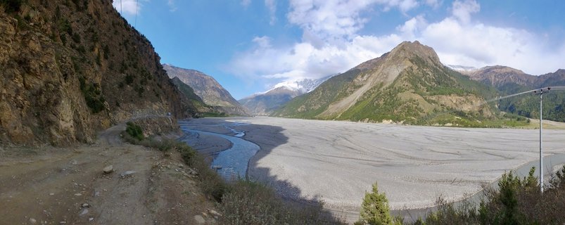
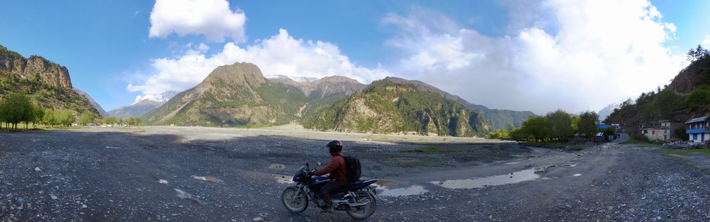
Kali Gandaki river valley with mountain peaks near Marpha-Larjung, Nepal
The braided Kali Gandaki riverbed stretches through the Marpha-Larjung region of Nepal's Annapurna Conservation Area, with forested mountain slopes rising under an overcast sky on May 1, 2017.
Read more about this photo
The ancient Kali Gandaki valley unfolds beneath towering Himalayan peaks, where the world's deepest gorge carves through Nepal's rugged Annapurna region. Gray stones and gravel spread across the wide braided riverbed, testament to millennia of glacial meltwater and monsoon flows.
Coniferous forests cling to the lower mountain slopes, their dark green canopies contrasting with the rocky scree fields above. This sacred landscape has guided pilgrims and traders along the salt route between Tibet and India for centuries.
Power lines trace the valley's edge, marking the quiet intersection of traditional mountain life and modern infrastructure. The overcast afternoon light softens the dramatic peaks, creating a contemplative mood in one of Earth's most awe-inspiring regions.
Spot a mistake or location error? Let us know!
Photos from the day